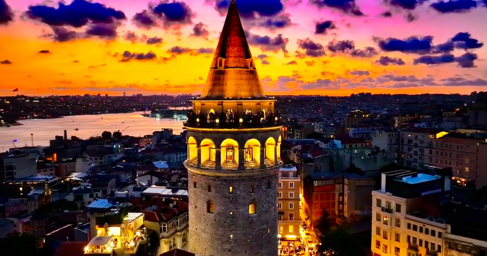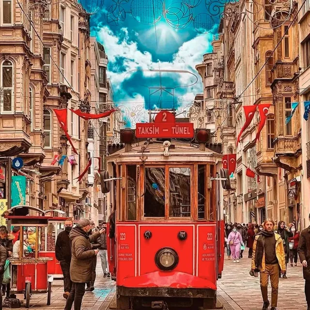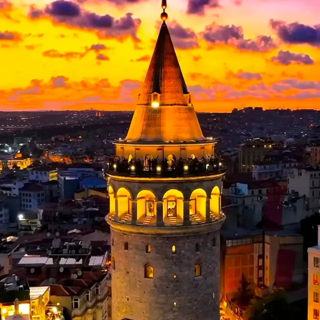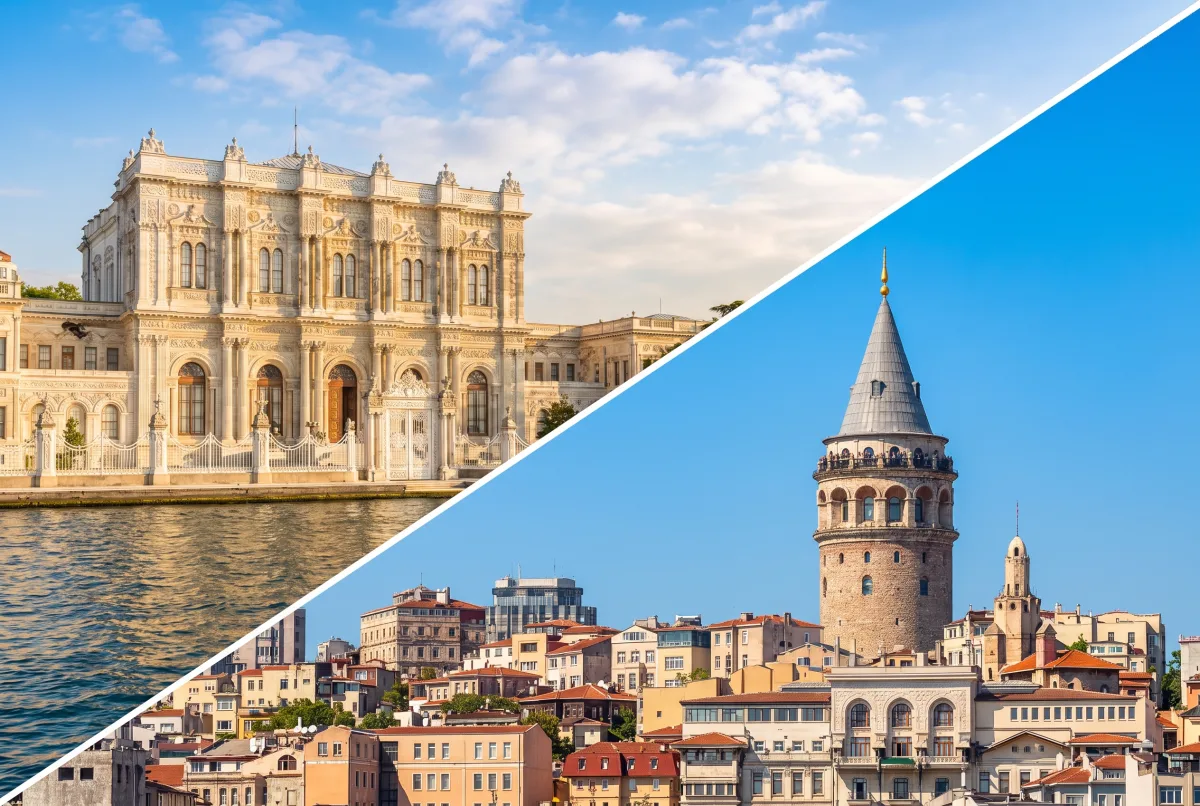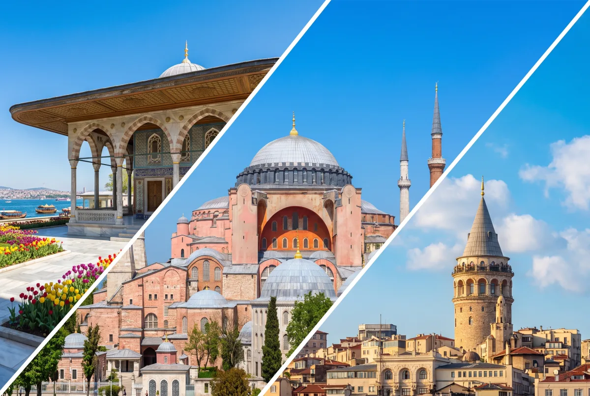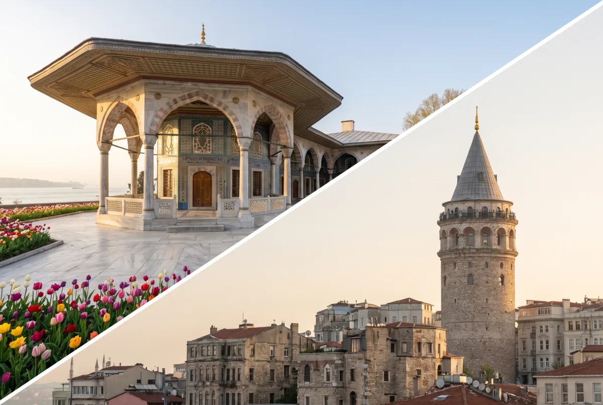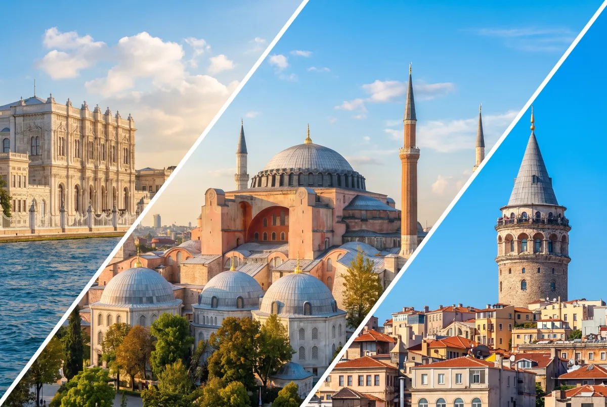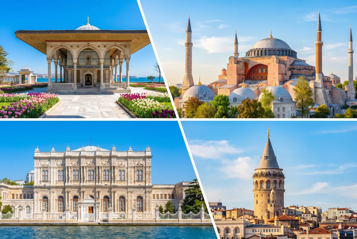
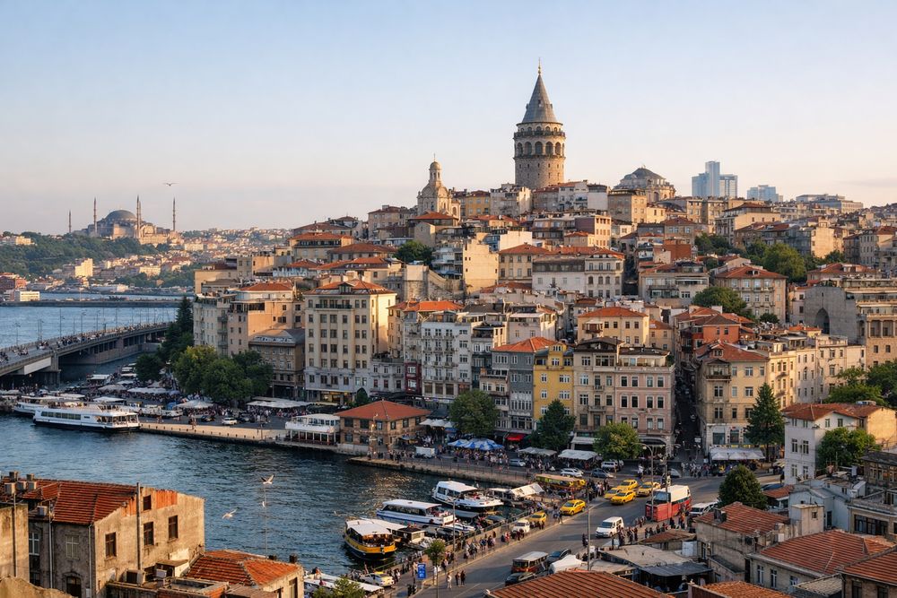
Before you go up the tower, read the district from the waterline upward. That short walk explains why the tower stands where it does and why Galata still feels different from both Karakoy below and Beyoglu above.
Key takeaways
- Galata was a working port district before it was a famous viewpoint.
- Its core timeline is clear: Byzantine suburb, Genoese trading colony, Ottoman commercial quarter.
- The Genoese phase left the best-known fortified imprint, including the tower, walls, and a tighter street pattern.
- The most useful way to understand the area is to walk from Karakoy uphill rather than starting at the tower.
- Galata pairs naturally with Galata Tower, Karakoy, Beyoglu, and across-the-water monuments such as Hagia Sophia and Topkapi Palace.
The short version
Constantinople, the medieval capital of the Byzantine Empire and later Ottoman Istanbul, spread around the Golden Horn, the deep inlet that separates the old peninsula from the northern shore. Galata occupied that northern shore opposite the imperial center.
Its importance came from position. Ships could land cargo near the harbor, merchants could store and finance goods close to the waterfront, and communities engaged in long-distance trade could operate beside, but not inside, the old imperial core.
Galata Tower belongs to that larger story. It is the best-known survivor of a wider fortified and commercial quarter that included walls, gates, churches, warehouses, houses, and streets shaped by trade.
Where Galata sits in the city
Galata rises directly above Karakoy, the lower waterfront zone of piers, quays, banks, workshops, and maritime traffic. Above and beyond it lies Beyoglu, the broader hill district that expanded strongly in later Ottoman and modern periods.
That position matters historically. Start at the shore and Galata reads as a harbor district. Start farther uphill and it can seem like part of later Beyoglu. Both are true, but the earlier story begins at the waterline.
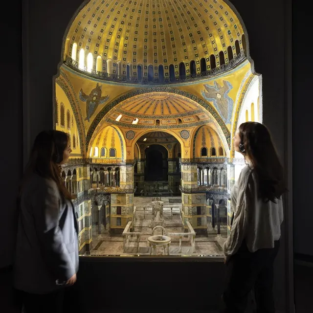
The district also made strategic sense because it faced the old capital across the inlet. From Galata, goods, people, and information could move toward the imperial peninsula while remaining in a zone shaped by commerce, shipping, and foreign merchant activity. If you want to compare roles across the water, Hagia Sophia and Topkapi Palace show the ceremonial and political center; Galata shows the commercial edge that helped sustain it.
From Byzantine suburb to Genoese colony
Under Byzantine rule, the north side of the Golden Horn was valuable but distinct from the main urban core of Constantinople. Galata developed as a suburb, harbor fringe, and exchange zone rather than as the ceremonial heart of the city.
The decisive shift came in the medieval period, especially after the restoration of Byzantine rule in Constantinople in 1261, when Genoese interests gained major advantages through imperial agreement. Genoa, a maritime republic from northern Italy, built a powerful commercial network across the Mediterranean and Black Sea, and Galata became one of its key eastern bases. treaty and date references for Genoese privileges in Galata
Why the Genoese mattered here
The Genoese did not just contribute one famous tower. They helped shape a defended trading settlement with its own walls, controlled entrances, churches, houses, storehouses, and administrative routines.
That is why Galata still feels compact and tactical. The hill gave defensive value. The walls marked jurisdiction. Gates regulated movement between harbor, market, and upper streets. Instead of the broad monumental logic seen on the historic peninsula, Galata preserves the logic of a mercantile enclave built to protect cargo, credit, and access.
Chronology matters here. The fortified colony expanded mainly in the later 13th and 14th centuries, and the tower itself is generally associated with the Genoese phase, not with the first beginning of settlement in the area. preferred wording and date range for the main Genoese wall and tower-building phases
Trade, shipping, and daily life
Galata was a node in Black Sea and Mediterranean trade. Cargoes moved between ships, quays, storerooms, brokers, and onward markets in and beyond Constantinople.
That economic role drew a working population that likely included merchants, sailors, dock laborers, money-handlers, translators, artisans, clergy, and officials. Some stayed seasonally; others belonged to more established resident communities. The exact communal balance changed over time, but Galata was plainly more than a single-ethnic enclave. concise source-backed wording for Latin, Greek, Armenian, and Jewish presence in Galata across periods
The quarter's daily life followed the needs of trade: unloading, storage, contracts, repair work, worship, lodging, and dispute settlement. That practical rhythm helps explain why the district still feels tighter, steeper, and more workmanlike than many visitors expect.
The walls, gates, and street plan you can still trace
One of the clearest ways to read old Galata is through its fortifications and the streets that still echo them. The medieval Galata walls once enclosed much of the Genoese quarter, though demolition, rebuilding, and later urban growth removed large stretches. which wall fragments and gates are currently visible and accessible in 2026
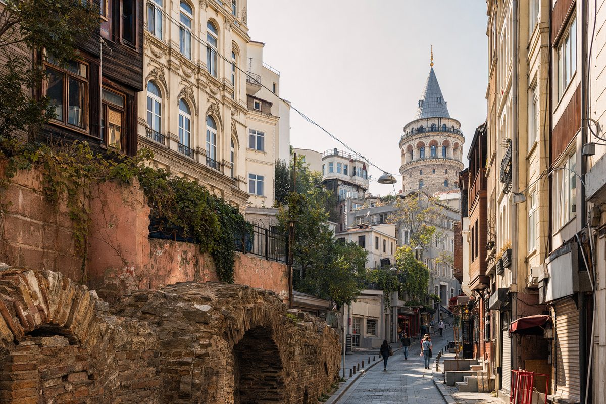
Even without a complete surviving circuit, the old layout still shows itself. Streets narrow suddenly, angles shift, stairways appear where topography and enclosure once mattered, and some building lines preserve the pressure of earlier defenses.
Named points matter more than vague atmosphere. When you encounter references to gates or wall sections, treat them as clues to how movement once worked between harbor, market, and upper district rather than as isolated relics. which named gates and wall stretches should be cited here for current visitor recognition
What survives above ground
You should not expect a fully intact medieval walled town. What survives is more fragmentary: sections of masonry, traces in street alignments, and the massive presence of Galata Tower, which still explains the upper defensive logic of the quarter.
Some of the strongest evidence is indirect. A lane that bends around a former boundary, a heavy retaining wall, or a plot line that looks awkward on a modern map can preserve older urban structure. That is often how Galata rewards attention.
Several religious and commercial buildings also preserve the district's age in altered form. Foundations, reused stone, enclosed courtyards, and older site continuity can matter as much as a perfectly preserved facade. which surviving churches, hans, and masonry details are safest to identify on the ground in 2026
What changed after 1453
The Ottoman conquest of Constantinople in 1453 changed Galata's political setting, but it did not erase the district's commercial importance. Instead, the area continued to function as one of the city's key business and port-related quarters under new rulers.
That continuity should be described carefully. Galata did not simply remain unchanged, and its earlier privileges were not carried over in a simple, untouched form. Fortifications lost some military meaning over time, administrative conditions shifted, and the social mix evolved under Ottoman rule. But the district remained a place of storage, exchange, shipping, and cross-community contact. tighter source-backed summary of how Galata's legal and commercial status changed after 1453
This is one reason the area still feels layered rather than frozen in one era. Byzantine geography, Genoese fortification, and Ottoman commercial use all left marks on the same hillside.
Sacred buildings, han courtyards, and mixed communities
Galata's history is easier to grasp once you stop looking only for headline monuments. Churches, institutional compounds, and hans show how trade and community were organized on the ground.
A han is an urban commercial building, often arranged around a courtyard, used for storage, workshops, offices, and trade. In Galata and nearby Karakoy, hans help explain the district as a working business zone rather than a purely residential one.
Churches and institutions
Religious buildings point to the area's layered population. Churches associated with Latin Catholic communities, along with Greek Orthodox, Armenian, Jewish, and later European institutions in the broader area, reflect the fact that Galata served people tied to trade, diplomacy, and maritime life rather than a single uniform community.
Saint Pierre Church is commonly linked to the older Latin presence in Galata, while the Crimean Memorial Church is a much later Anglican landmark that reflects the district's continuing international connections in the 19th century. current visitor access rules for Saint Pierre Church and Crimean Memorial Church
The point is not that every group held equal weight in every century. The point is that Galata worked through institutions of trust, worship, language, and law that made commerce possible across cultural boundaries.
Commerce behind stone facades
Many of Galata's most informative buildings are easy to overlook because they were built to function first. Thick walls protected goods. Courtyards organized loading, storage, and circulation. Street-level openings served exchange, while upper floors could handle offices, supervision, or lodging.
That is why a modest entrance can matter as much as a grand view. In this district, architecture often records risk management and trade practice more clearly than civic display.
A practical walking route through old Galata before the tower
The most useful route begins in Karakoy and climbs in sequence toward the tower. This lets you read the district in historical order: harbor first, commercial streets next, fortified upper quarter last.
Start in Karakoy
Begin near the waterfront in Karakoy. Face uphill and notice how sharply the land rises from the quays. That slope is your first clue that Galata functioned as both a harbor district and a protected upper settlement.
From the lower streets, move inward rather than taking only the fastest modern route. Watch for older masonry, church compounds, han entrances, retaining walls, and lane widths that feel out of scale with modern traffic. Those details often carry more historical meaning than a single photo stop.
As you walk, keep the wider urban relationship in mind: the harbor below handled arrival and exchange, while the climb above led toward the more fortified and supervisory part of the quarter.
Climb toward Galata Tower
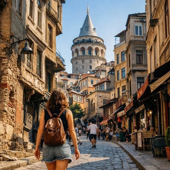
As you continue uphill, the district usually feels tighter and older. Streets compress, turns become sharper, and the upper hill begins to read as the defended core of the old Genoese quarter.
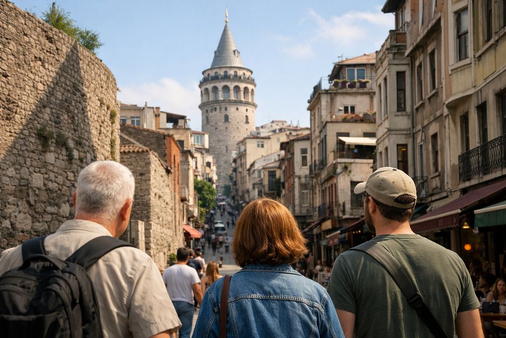
Approach Galata Tower as the culmination of that climb, not as an isolated attraction. By the time you reach it, you should be able to look back down toward Karakoy and understand why height, visibility, walls, and controlled access mattered here.
Use the view as a recap. Across the Golden Horn is the old imperial peninsula. Below lies the maritime edge. Behind and above spread later Beyoglu streets. The tower makes sense because it ties those zones together. current Galata Tower opening hours and ticket policy in 2026
Why this history matters before you visit Galata Tower
Knowing the district first changes what the tower means. Instead of a standalone lookout, it becomes the upper marker of a quarter built around trade, defense, and movement between sea and city.
That wider context also corrects a common mistake. Galata's importance was not mainly scenic. It was logistical. This was a place where shipping, storage, credit, foreign merchant activity, and urban expansion north of the Golden Horn intersected.
For a visitor, that means the best experience is usually not to rush straight to the entrance line. Walk the slope, notice the surviving fabric, then go up the tower with the district already in mind.
Practical tips for exploring Galata today
Start early if you want quieter streets and clearer views uphill. best low-crowd hours around Galata Tower area in 2026
Wear shoes with grip. The area is steep, and paving can be slick, especially on polished stone, steps, or after rain.
Give yourself enough time to pause. Galata is best read slowly, with attention to side lanes, wall fragments, church compounds, and courtyard entrances rather than only the main commercial streets.
If you are combining neighborhoods, pair Galata most directly with Karakoy below and Beyoglu above. If you want to understand the full city structure, add Hagia Sophia or Topkapi Palace across the water on the same day or the next.
The simplest advice is still the best: do not visit Galata only for the tower. Walk the quarter first, then let the tower confirm what the streets have already shown you.